Akkar (Arabic: عكار) is a district (Qadaa) in the North Governorate, Lebanon. It covers an area of 788 km2 (304 sq mi) and has a population of 198,174. The capital lies at Halba. The name Akkar is derived from the Syriac word, Akkare, meaning farmers.
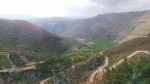
The district is characterized by the presence of a 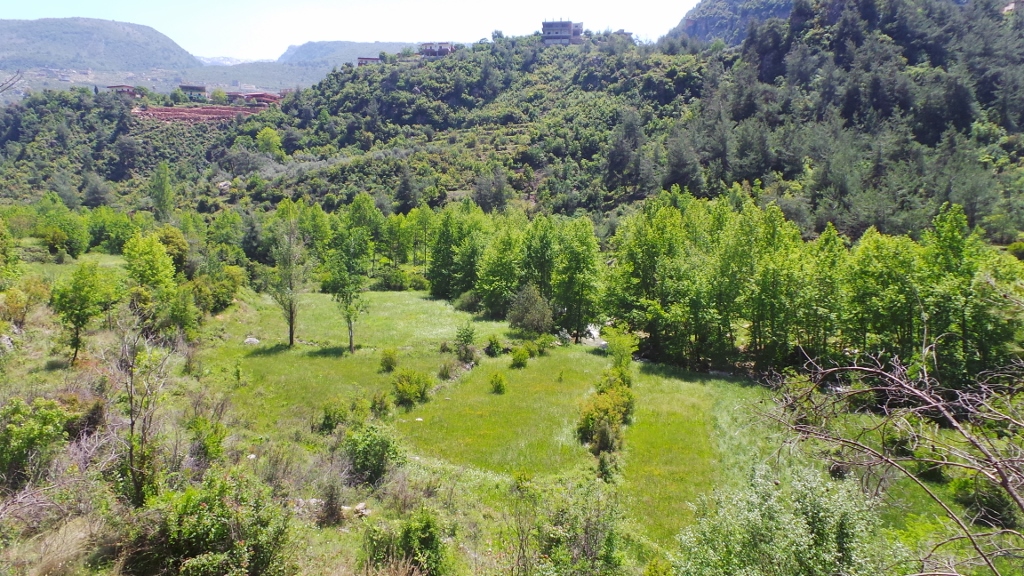 relatively large coastal plain, with high mountains to the east. Akkar had been governed during the last 400 years by the Emirs and the beiks of the Merheb (Muriby) family. After the civil war this was no longer the case as peasants took over the land with the aid of Syrian troops during the civil war. The largest cities in Akkar are Halba, al-Bireh (previously called “Biret el Hokem” where we find the Castle of Merheb Family), Kobayat (Quobayet).
Akkar has many important Roman and Arabic archaeological sites. One of the most famous archaeological sites and the birthplace of the Emperor Alexander Severus, is the Tell of Arqa near the town of Miniara. Several prehistoric sites were found in the Akkar plain foothills that were suggested to have been used by the Heavy Neolithic Qaraoun culture at the dawn of the Neolithic revolution.
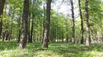
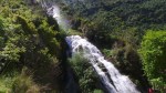
If you haven’t been there, have a look on all the green places all over Akkar. It should be considered one of the most important reserves in Lebanon.